
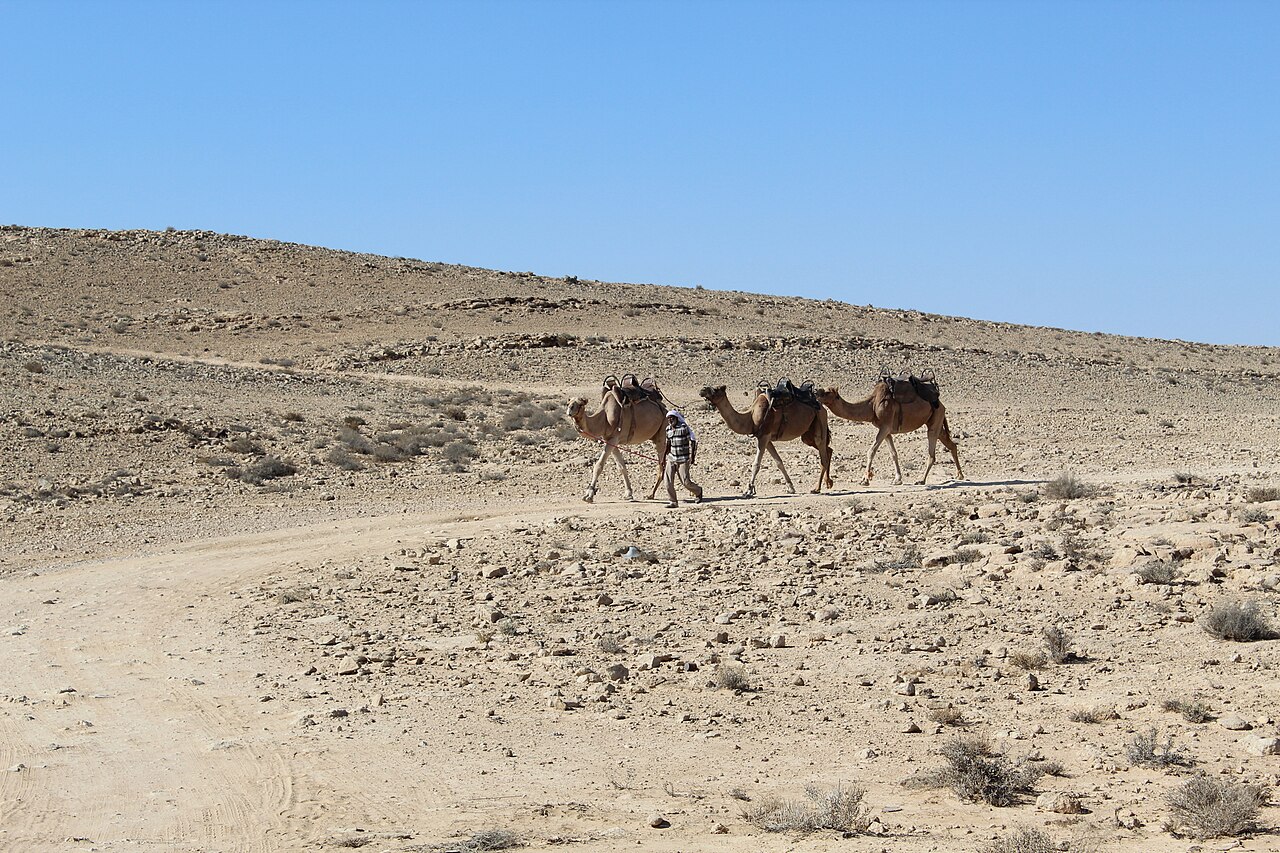
The Negev covers more than half of Israel’s land area and looks nothing like the postcards of Jerusalem or the Sea of Galilee. A Negev desert jeep tour moves through several distinct landscapes within a few days, and knowing their order helps with planning, packing and expectations. The stretches below run roughly from north to south, though real itineraries rearrange them to suit road conditions and the season.
Table of Contents
The Northern Negev
Around Beersheba the desert is not yet fully desert. Low loess hills roll toward the horizon, farms push into the edges, and Bedouin towns sit along the main roads. After winter rain the slopes can turn green for a few weeks, and the dirt tracks soften noticeably, which is worth remembering if a trip falls just after a storm. Many travelers use this zone as a gentle first day, since the terrain is forgiving and the scenery changes slowly enough to let new drivers settle in.
Around the Ramon Crater
Further south the ground drops away into the Makhtesh Ramon, a vast erosion crater often described as the largest of its kind in the world. Its walls expose bands of sandstone in yellow, purple and rust, and the floor holds tracks that cross dry streambeds and fossil-rich slopes. A Negev desert jeep tour here usually combines time on the rim with a descent into the crater, where the sheer scale becomes apparent. Nights are cold on the high ground even after a hot day, so a fleece belongs in the bag in almost every season.
The Avdat Highlands
West and south of the crater lie the remains of Nabatean towns along what was once an incense trade route. Avdat, Mamshit, Shivta and Haluza are among the sites, and several are recognized by UNESCO. Tracks between them pass terraced farms and cisterns that hint at how people once survived on very little rain. A guide who can explain how water was captured and stored changes ruins from piles of stone into an engineering story.
The Zin Valley and Its Springs
The Zin wadi cuts a green line through pale rock, and its springs draw wildlife in a way the surrounding plateau does not. Ibex are often visible on the cliffs, especially in the cooler hours, and birdlife increases after winter. Short walks to pools and viewpoints break up the driving, and shade near the water makes it a favorite lunch stop. In the hot months these areas can be crowded by midday, so an early arrival tends to reward the effort.
The Arava and the Road to the Red Sea
Heading toward Eilat, the landscape flattens into the Arava rift valley, with mountains on both sides and heat that builds quickly. The copper mining region near Timna holds striking sandstone formations, ancient workings and tracks that suit slow exploration. The journey ends at the Red Sea, where a swim feels earned.
Seasons and Heat
Cooler months, roughly from October to April, are generally more comfortable for a Negev desert jeep tour. Summer temperatures can pass 40 degrees Celsius, which affects the pace of the day, the number of stops and the safe amount of walking. Winter nights in the highlands may fall close to freezing, and rain can arrive suddenly. Flash floods are a genuine hazard in wadis, even when the sky overhead is clear, so itineraries should stay flexible and drivers should keep away from channels when there is any doubt.
Rules of the Land
Large parts of the Negev contain military training zones, nature reserves and areas closed to the public. Gates are common, and signs matter. Staying on marked or approved routes is both a legal requirement in many areas and a basic safety rule. Mobile coverage fades in canyons and remote valleys, so a paper map, a spare power source and a plan for contacting help are worth carrying.
Livestock and herders use many of the same tracks, and giving them space, along with leaving gates as found, is a courtesy that locals notice. Rubbish should travel back with the group.
Thinking Ahead
Most visitors underestimate how much the desert varies from one day to the next. A trip that includes crater edges, ancient towns, springs and the Arava can feel like four different countries. Allow time for each stretch, travel in the cooler months if flexibility allows and treat the landscape with the respect its sparse resources deserve. A short notebook of what each stretch looked like can be a pleasant keepsake, since details blur quickly once the dust has been washed from the vehicles.
