
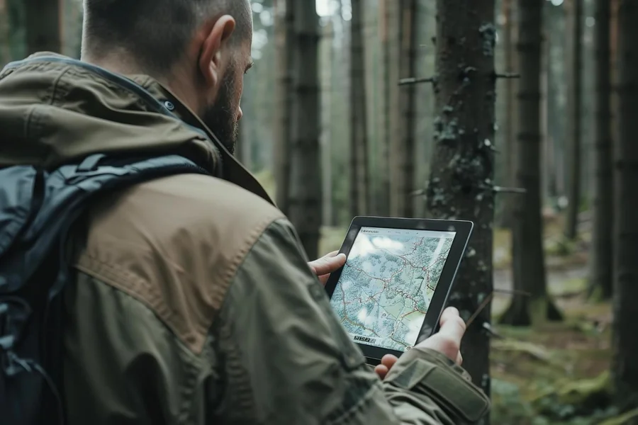
A shuttle van breaks down on a forest service road halfway between a trailhead and the take-out point. Cell service is intermittent at best. The driver calls in, but their description of where they are is approximate. The company back at the base can’t pinpoint the van on a map without tracking, which means they can’t give accurate information to the passengers waiting at the pickup point, and they can’t direct a rescue or replacement vehicle efficiently.
This is not an unusual scenario for outdoor recreation operations. It’s the kind of situation that happens once and tends to be the reason a company installs GPS fleet tracking the following week.
Table of Contents
The Remote Operations Reality
Outdoor recreation businesses – shuttle services, tour operators, rafting companies, ski resort fleets, campground maintenance crews – operate vehicles in environments that land-based urban logistics companies don’t. Cell coverage is patchy. Routes include forest roads, mountain passes, and backcountry access tracks that don’t appear on standard navigation maps. Drivers are sometimes out of contact for extended periods.
In this environment, gps fleet tracking does something different from what it does for a city delivery operation. Real-time positioning in areas with cell coverage gives dispatch a clear picture. Track logging in areas without coverage stores the route history locally and transmits it when connectivity returns, producing a complete record of where the vehicle was throughout the trip even when data couldn’t be sent live.
For a tour operator whose business depends on picking up guests at specific trailheads at specific times, that visibility changes the customer experience meaningfully. Knowing the van is 14 minutes out means you can communicate that accurately to waiting guests. Not knowing means you give a vague answer and hope.
Safety in the Backcountry
The U.S. Department of Transportation’s National Highway Traffic Safety Administration documents that rural roads account for nearly half of all traffic fatalities despite carrying significantly less traffic than urban roads. Outdoor recreation businesses sending vehicles into these environments take on real risk, and tracking reduces that risk in practical ways.
When a vehicle goes out of contact on a mountain road and doesn’t return on schedule, the difference between having a last known GPS position and having only a general route description is the difference between a targeted search and a wide one. Fleet tracking produces that last known position automatically and continuously.
Geofencing – setting alerts for vehicles that leave a defined area – also has specific value for operations running trips on permitted routes. A vehicle that strays from the authorized route triggers an alert rather than a phone call that may not get answered.
The Scheduling Application
Beyond safety, GPS fleet tracking helps outdoor recreation operations solve a specific scheduling challenge: customers and vehicles moving between dispersed locations across uneven terrain.
A rafting company running multiple put-in and take-out combinations across a river system has a complex logistics puzzle. Who’s picking up which group from which location, and how do you know the driver is actually on track to arrive when expected? Tracking answers these questions without requiring drivers to call in every thirty minutes.
The operational savings in dispatcher time and customer communication alone justify the investment for most operations that run more than a handful of vehicles. Drivers aren’t interrupted with check-in calls. Customers get accurate updates. Problems that would previously go undetected until someone didn’t show up get surfaced in real time.
What Hardware Works in Remote Environments
Not all telematics hardware performs equally in low-coverage environments. Units designed for commercial outdoor use combine cellular and GPS capabilities with local data storage that buffers location history during connectivity gaps. The key specs to look for are coverage mode flexibility (cellular primary with satellite backup for truly remote applications), battery backup in case of vehicle power loss, and track logging intervals that capture sufficient detail for reconstructing routes through complex terrain.
For seasonal operations, units that can be transferred between vehicles at the start and end of season are more practical than permanently hardwired solutions, though the latter provide more consistent data collection across the full range of diagnostic capabilities.